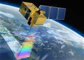
SENTINEL-2 is a European wide-swath, high-resolution, multi-spectral imaging mission.
Sentinel-2 是高分辨率多光谱成像卫星,一颗卫星的重访周期为10天,两颗互补,重访周期为5天。分为2A和2B两颗卫星。2A于2015年6月23日01:52 UTC以“织女星”运载火箭发射升空。2B于2017年3月07日北京时间9时49分 UTC以“织女星”运载火箭发射升空。两者同时进入运行状态后,每5天可完成一次对地球赤道地区的完整成像,而对于纬度较高的地区,这一周期仅需3天。
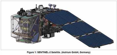
每个SENTINEL-2卫星重约1.2吨。卫星寿命为7.25年,其中包括3个月的在轨调试阶段。其上的电池和推进剂可以适应12年的运行要求,包括寿命终止轨道飞行操作。
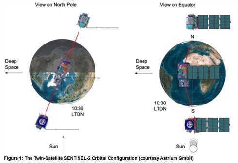
两颗相同的SENTINEL-2卫星在太阳同步轨道上以180 km的相位相互同步,平均高度为786 km。每个SENTINEL-2卫星在其轨道上的位置都是由双频全球导航卫星系统(GNSS)接收器测量的。
Sentinel-2 卫星携带一枚多光谱仪器(MSI),可覆盖13个光谱波段,地面分辨率分别有10m、20m和60m:
| Sensor | Band number | Band name | Sentinel-2A | Sentinel-2B | Resolution (meters) | ||
|---|---|---|---|---|---|---|---|
| Central wavelength (nm) | Bandwidth (nm) | Central wavelength (nm) | Bandwidth (nm) | ||||
| MSI | 1 | Coastal aerosol | 443.9 | 20 | 442.3 | 20 | 60 |
| MSI | 2 | Blue | 496.6 | 65 | 492.1 | 65 | 10 |
| MSI | 3 | Green | 560.0 | 35 | 559 | 35 | 10 |
| MSI | 4 | Red | 664.5 | 30 | 665 | 30 | 10 |
| MSI | 5 | Vegetation Red Edge | 703.9 | 15 | 703.8 | 15 | 20 |
| MSI | 6 | Vegetation Red Edge | 740.2 | 15 | 739.1 | 15 | 20 |
| MSI | 7 | Vegetation Red Edge | 782.5 | 20 | 779.7 | 20 | 20 |
| MSI | 8 | NIR | 835.1 | 115 | 833 | 115 | 10 |
| MSI | 8b | Narrow NIR | 864.8 | 20 | 864 | 20 | 20 |
| MSI | 9 | Water vapour | 945.0 | 20 | 943.2 | 20 | 60 |
| MSI | 10 | SWIR – Cirrus | 1373.5 | 30 | 1376.9 | 30 | 60 |
| MSI | 11 | SWIR | 1613.7 | 90 | 1610.4 | 90 | 20 |
| MSI | 12 | SWIR | 2202.4 | 180 | 2185.7 | 180 | 20 |
可以下载的数据产品类型:
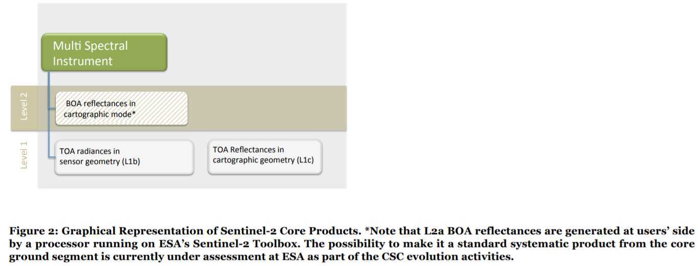
| Name | High-level Description | Production & Distribution | Data Volume |
| Level-1C | Top-of-atmosphere reflectances in cartographic geometry | Systematic generation and on-line distribution | 600 MB (each 100x100 km2) |
| Level-2A | Bottom-of-atmosphere reflectance in cartographic geometry | Systematic generation and on-line distribution and generation on user side (using Sentinel-2 Toolbox) | 800 MB (each 100x100 km2) |
产品是固定大小的基本图块的组合。图块是产品(包含所有光谱带)的最小不可分割的分区。对于Level-1C 和 Level-2A,图块是UTM / WGS84投影下的100x100 km2正射图像。
UTM(通用横轴墨卡托)投影系统将地球表面分为60个区域,每个区域的垂直宽度为经度6°,水平宽度为纬度8°。
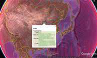
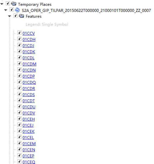
Level-1C 是经过正射校正和几何精校正的大气表观反射率产品,并没有进行大气校正。
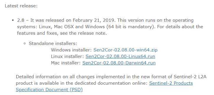
Level-2A 主要包含经过大气校正的大气底层反射率数据(Bottom-of-Atmosphere corrected reflectance),但这个L2A数据需要用户根据需求自行生产,为此,ESA发布了专门生产L2A级数据的插件Sen2cor。
下载:
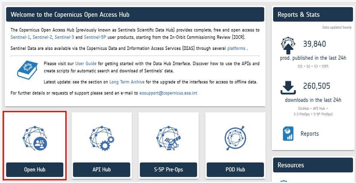
1 https://scihub.copernicus.eu/ 官网下载,需要先注册
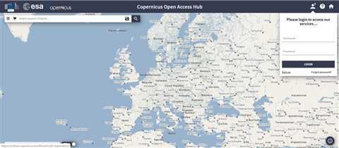
高级搜索:
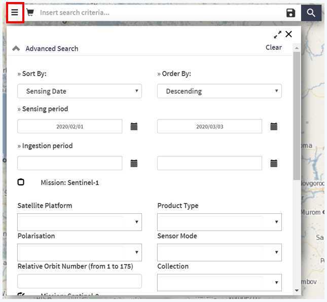
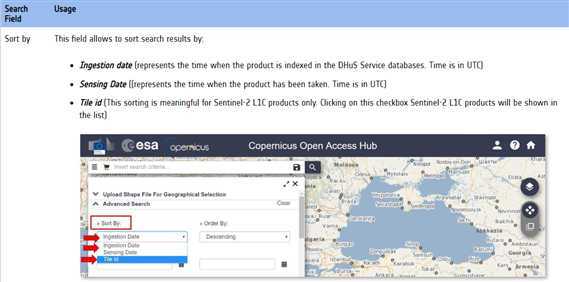
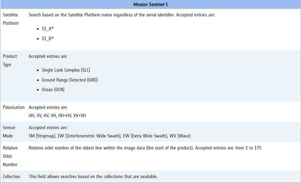
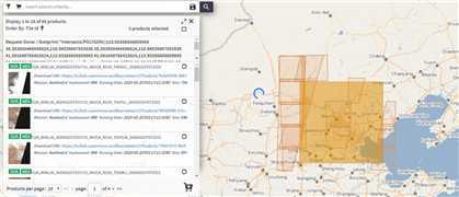
选择固定多边形区域后,直接点击搜索键,即可筛选出所需范围内的影像:
或者通过IDM下载器,从https://earthexplorer.usgs.gov/ 下载
The USGS Sentinel-2 档案库是ESA所有可用数据的一部分代表. 该数据相比于ESA官网发布的数据有一定延迟。
主要是对Level-1C级产品进行辐射定标和大气校正。
处理软件有:
参考:
https://blog.csdn.net/qq_41718357/article/details/83536322
原文:https://www.cnblogs.com/icydengyw/p/12404296.html